GIS
What is GIS?
Geographic Information Systems (GIS) are computer systems that captures, stores, and analysis of geographical referenced data. It is used in almost all industries, including engineering, medical, and enviroment fields. E.g. Apple Maps, Google Maps, etc. GIS is an important skill that can be used in a plethora of applications and jobs.
MATES GIS
In the MATES GIS class (GMN 1242) and we learn how to use ArcGIS by Esri to manipulate, calculate, and display data through maps and spatial manipulation. Throughout the class we collected data from the field to use in projects.
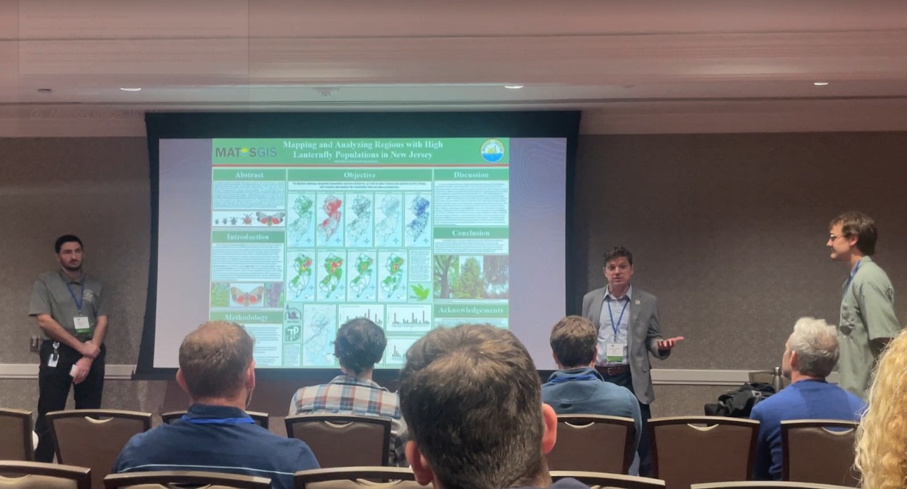
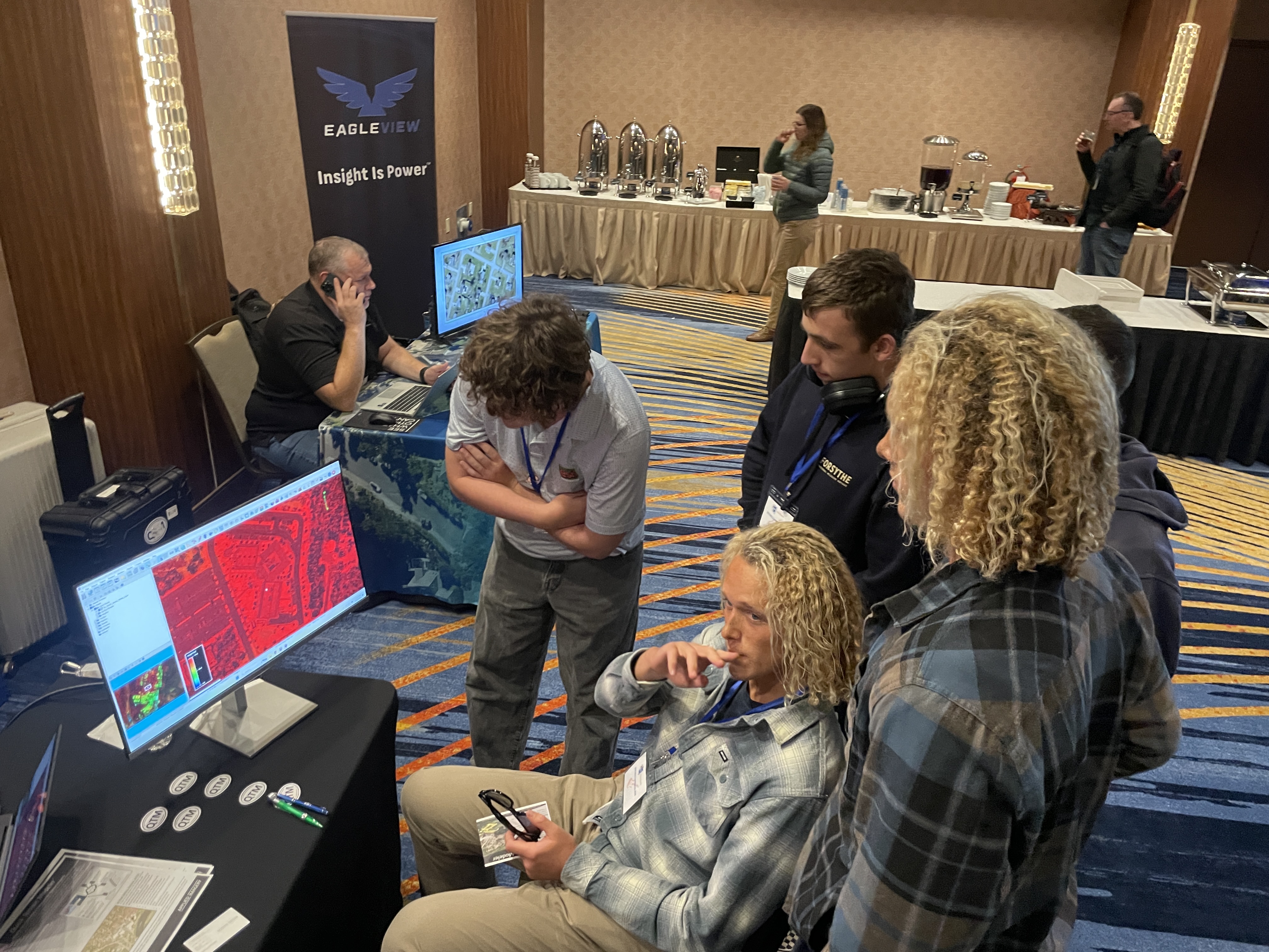
I attended the GPN Mid-Atlantic GIS Conference 2026 on October 23 2026 in Atlantic City for a class trip. It was one of the best experiences ever! I got to meet a bunch of people who actually understood my nerd speak.


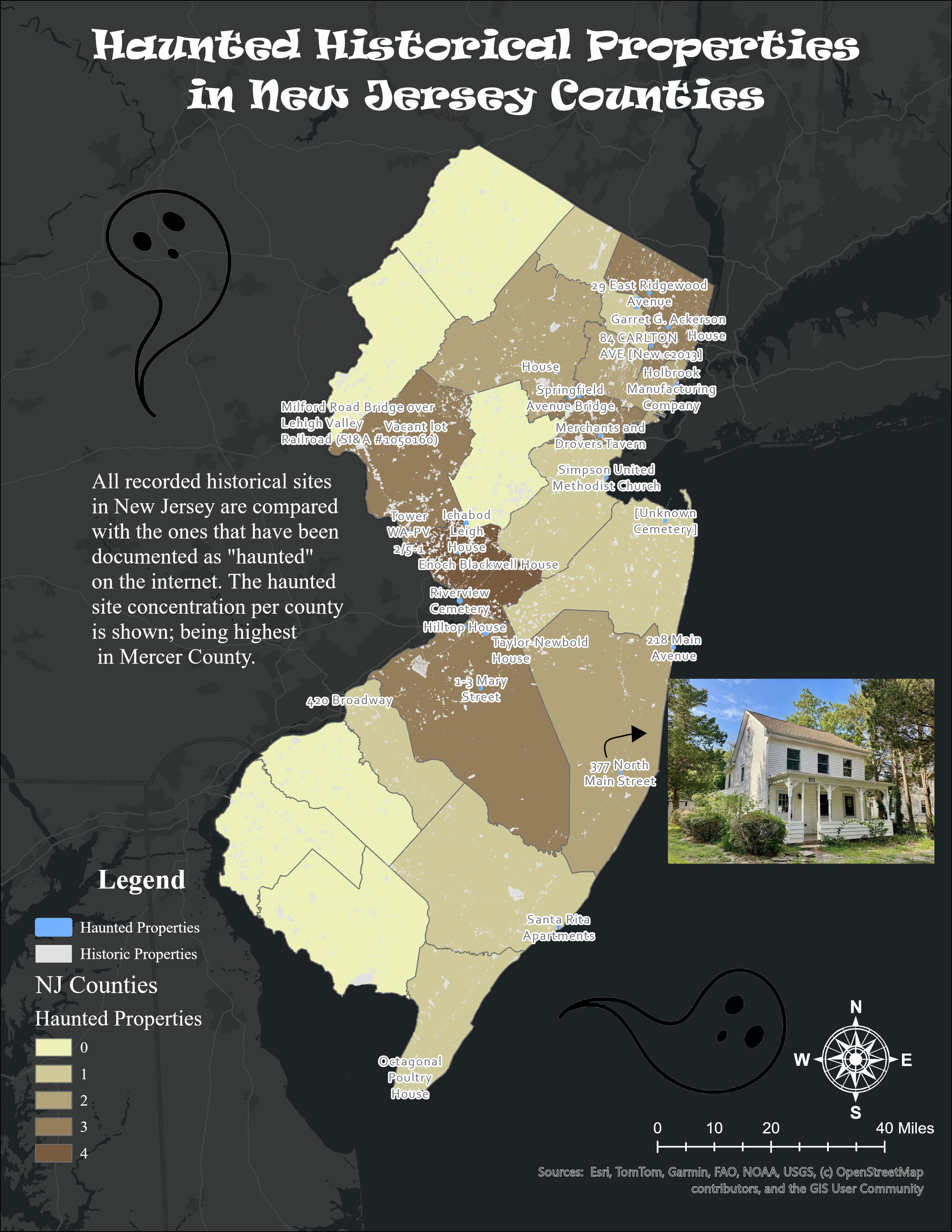
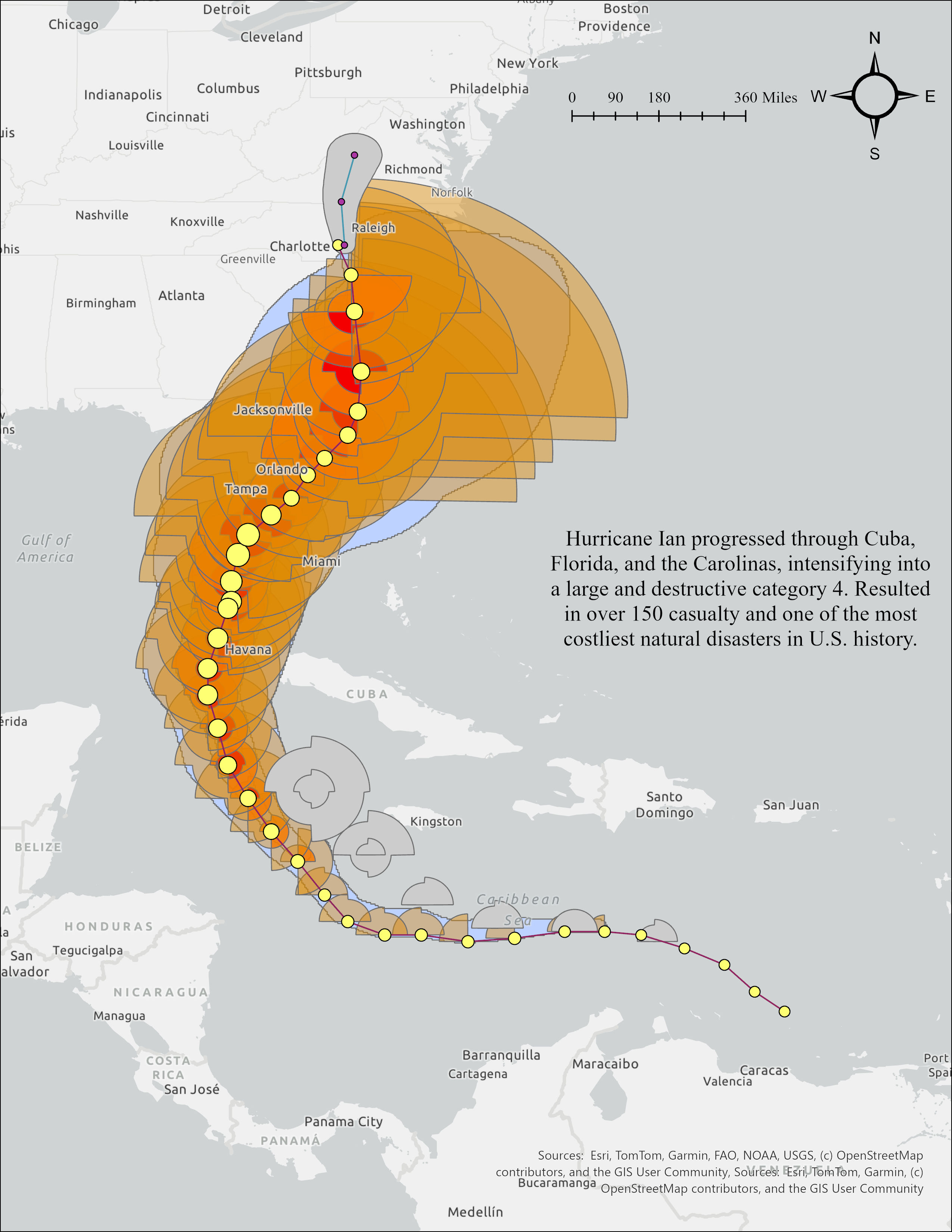
Below are some examples of what I created in class: